
Linn County Neighbor Records
A block lookup works best when each source answers one narrow question. The Linn County GIS parcel service supplies parcel shapes, situs addresses, legal descriptions, owner fields, and links to assessor and recorder records. Situs means the physical location of land. It is not an owner's mailing address. Cedar Rapids parcels use the city assessment route, while parcels elsewhere generally use the county assessor. Voter records add civic geography under strict access rules, and local archives add the time layer.
| Source | What It Shows About a Block | Access |
|---|---|---|
| Linn GIS parcels | Adjacent polygons, GPN, situs, owner fields, legal description, and recorder link | Free map and REST query |
| County or city assessor | Address-keyed assessment record and parcel facts | Free public search |
| Iowa voter records | Registration and precinct data within statutory limits | Free verification; restricted list request |
| Neighborhood dashboard | Association names, contacts, meetings, and area context | Free dashboard, no resident roster |
| Library and History Center | Older directories, maps, Sanborn sheets, and block history | Online, assisted, and in person |
An assessor owner can be a person, trust, business, or public body. The mailing address may be far from the parcel. A deed fixes parties to a recorded transaction, not a current household. Linn County neighbors should therefore be described as nearby parcel owners or dated record subjects unless another official source supports more. The parcel's modified date and assessment year matter as much as the name.
Map Linn County Neighbor Parcels
The county parcel layer supports geometry and distance queries. Start with a known parcel number, called a GPN in the service, or select the polygon at the exact situs address. An intersects or distance query can return nearby polygons. That is more precise than searching every address on a long road, and it keeps a neighbor lookup focused on the immediate block.
- Confirm whether the address is inside Cedar Rapids or the county assessor's territory.
- Find the parcel by address, then note its GPN and polygon.
- Select touching or nearby polygons and record each GPN separately.
- Open each property report and recorder link, keeping the source date beside every name.
- Stop at the intended block radius instead of widening the search without a reason.
The result is a small, checkable set of land records. It is not a map of social ties. For a full chain along an entire road, use the Linn County street directory.
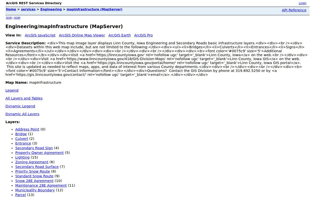
The official GIS address and municipality service shows layers that help place a parcel in the right jurisdiction.
Read Linn County Neighbor Records
Every nearby parcel deserves its own line in a worksheet. The GIS service can return a GPN, situs city and ZIP, legal description, owner deed or contract field, municipality, tax district, class, assessment year, values, recorder instrument number, and source links. Keep physical location, owner name, mailing address, and record-party address in separate columns. Combining them creates false matches.
- GPN
- The county geographic parcel number for one mapped tract.
- Situs address
- The physical location assigned to the parcel.
- Legal description
- The land description used in deeds, which may survive a street-name change.
- Instrument number
- The identifier connecting a parcel result to a recorded document.
The assessor record is an annual assessment source, not a live occupancy roll. A homestead credit can support owner occupancy for its period, but cannot prove that all owners live there now. When a field is unclear, call the relevant assessor or Recorder rather than interpreting a code from another county.
Note: Save the assessment year and GIS modified date because a later query can change even when the parcel shape stays the same.
Linn County Neighbor Groups
Cedar Rapids maintains a neighborhood association dashboard. It offers civic context such as association names, contacts, meeting details, and area geography. The city guide reports more than twelve organized associations. No official public membership directory was found, so a listing should never be used to claim that a named person lives on a block.
| Association | Official context | Roster status |
|---|---|---|
| Cleveland Area | Contact and meeting context; post-flood neighbor activity | No public resident roster found |
| Ellis Harbor | Association listing and contact context | No public member roster found |
| Kenwood Park | Area listing and neighborhood resources | No public resident directory found |
| Mound View | Association listing and contact context | No public member roster found |
| Noelridge Park | Association listing and contact context | No public resident directory found |
These groups answer a better question than who lives here. They can identify meeting places, neighborhood boundaries, shared civic projects, and a point of contact. The dashboard also routes residents who want to ask about forming an association.
Linn County Neighbor Voter Limits
The Iowa voter registration lookup asks for first name, last name, and ZIP. It verifies a known voter and may provide registration or polling information. It is not a browseable block directory. Structured records require a signed voter-list order form with a lawful-use statement, payment, and processing that may take up to fourteen days.
The county list can include registration address, mailing address, and precinct name or code, with optional vote history for specified elections. It excludes Social Security, driver's-license, and nonoperator-ID numbers. Ballot choices are secret. A twenty-nine-day blackout before a general election redirects some requests to the Secretary of State, and protected voters may not appear in ordinary outputs.
A registration address is dated civic evidence. It may differ from mailing or parcel data, and it does not prove who else shares the home. Keep the list date and status, then compare only the fact needed.
Official Linn County Neighbor Sources
Commercial neighbor tools often merge old addresses, household guesses, and data bought from many sources. Official rolls are narrower, but each has an accountable custodian, a stated purpose, and a source date. For a block inquiry, that evidence is easier to verify.
| Point | Official Linn County source | Commercial category |
|---|---|---|
| Meaning | Defined parcel, assessment, deed, permit, or voter field | Often merged and inferred |
| Correction | Custodian can explain or correct its record | Correction paths vary |
| Time | Assessment year, recording date, or list date can be saved | Age may be unclear |
| Cost | Many searches are free; copies and lists may have set fees | May charge before sources are clear |
If a map does not load, contact GIS, the appropriate assessor, or the Recorder with one parcel, address, instrument, and date range. Iowa Code chapter 22 also permits a narrow public-record request, subject to exemptions and reasonable production costs.
Historic Linn County Neighbor Maps
Older block identity can come from the Cedar Rapids History Archive, which includes city directories, phone books, maps, newspapers, census material, and Sanborn fire-insurance maps. The Sanborn run covers Cedar Rapids from 1884 through 1936. A directory may name a person at an address, while a Sanborn sheet shows a building footprint or use.
Linn County historic inventories add surveyed properties organized by map subsections, with completion years from 1993 through 2016. The History Center can help with maps, clippings, directories, people and business files, blueprints, and house history. These sources give block context without treating old names as current residents.
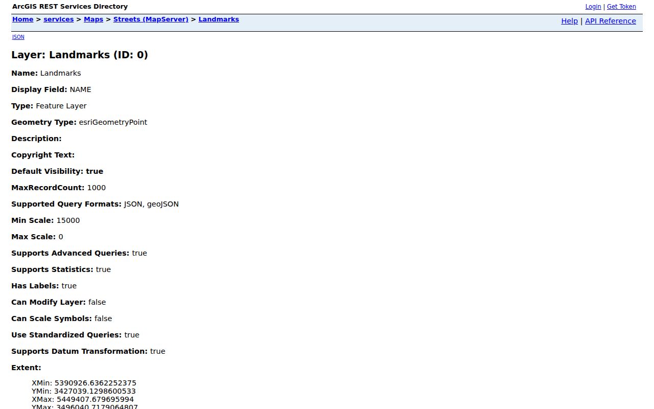
The official Cedar Rapids landmark layer is another useful place index.
Flood-Era Linn County Neighbors
The 2008 Cedar River flood changed neighborhood life and record access. County offices and the jail were displaced, Palo was evacuated, and some Northern District federal courthouse “Flood Files” are no longer available. Cleveland Area neighbors also organized after the flood. A missing address trail from that period may reflect displacement, changed offices, or an unavailable record set rather than the absence of a household.
Label every source by date. Check directories and newspapers for the earlier block, parcel and permit records for later changes, and the History Center for assisted research. Temporary addresses should not be merged with permanent parcel ownership unless a record connects them.
Walk Linn County Neighbor Blocks
Once the starting parcel is verified, move outward one polygon at a time. This second pass checks that each parcel result points to the right assessor record and recorded instrument.
- Normalize the house number, street, quadrant, city, and ZIP.
- Open the parcel polygon and save the GPN, situs, and assessment year.
- Inspect each touching polygon without assuming shared ownership or occupancy.
- Use the instrument number to verify a named deed party where needed.
Cedar Rapids uses directional quadrants, with the river and 1st Avenue as key dividing lines. Leaving off NE, NW, SE, or SW can point to a different address. Rural parcels may need the E-911 route through Linn County Engineering when the map and mailing label do not align.
Protect Linn County Neighbors
Parcel ownership, a deed party, and voter registration are distinct facts. None gives permission to infer a household relationship, publish sensitive details, or monitor a person. Utility, delivery, medical, school, and protected identifier data are not public block-directory fields. Iowa Safe at Home gives eligible survivors a substitute address, mail forwarding, and confidential voter services, so an ordinary record may deliberately withhold a true location.
The Linn County sex offender map is a separate public-safety source with its own rules. It should be consulted only for the purpose the registry serves, not merged into a general list of neighbors.
Lawful use. Use Linn County neighbor records for civic curiosity, family research, or personal safety. Never use them to stalk, harass, threaten, or harm a person.