
Walk a Linn County Street
A sound Linn County street directory search separates ownership from residence. The assessor and deed index identify parcel owners and parties to recorded documents. A voter record can verify a registration when the correct name and ZIP are known. Printed directories can place a named householder at an address in a stated year. None is a live household roll, so keep the source date beside every result.
- Choose the correct assessor. Cedar Rapids parcels use the city assessor; all other Linn County assessment areas use the county search.
- Enter the house number and street, then save the PIN or GPN, the local parcel identifier, and the legal description.
- Open the county GIS parcel layer. Compare the situs address, meaning the physical site, with the tax mailing address.
- Follow the recorder instrument number into Fidlar AVA or Iowa Land Records. Search the parties to the deed, not just an owner label.
- For an older household, check the street section and alphabetic section of a dated Cedar Rapids directory.
The result is a chain, not one answer: address to parcel, parcel to record party, and record party to dated evidence. For a whole named road, repeat the first two steps on adjacent parcels. For only the near block, the Linn County neighbors search explains the narrower map method.
Choose the Linn County Assessor
Linn County has 18 incorporated cities, yet assessment does not follow one countywide form. The Linn County Assessor Real Estate Search excludes Cedar Rapids. A Cedar Rapids street belongs in the Cedar Rapids Assessor Search. Marion, Hiawatha, Mount Vernon, Ely, Fairfax, Lisbon, and other communities remain within the broader county record framework, while the assessment route depends on the parcel.
This is the most useful insider point in the street directory. The county form observed during research did not offer a direct owner-name field. It is built to start with land: PIN, address, legal description, section-township-range, or acreage. Find the parcel first, then move to GIS owner fields or the recorder's party index.
| Search control | How Linn County uses it | Best use |
|---|---|---|
| PIN | Exact or wildcard parcel number | Return to a known parcel |
| House and street | Number plus street-name controls | Begin a street directory search |
| Legal description | Addition and lot text | Match a deed or plat |
| Section, township, range | Rural land description | Trace land without a city address |
| Acreage | Minimum and maximum range | Narrow rural parcels |
The captured Cedar Rapids assessor form shows why the jurisdiction choice comes first.
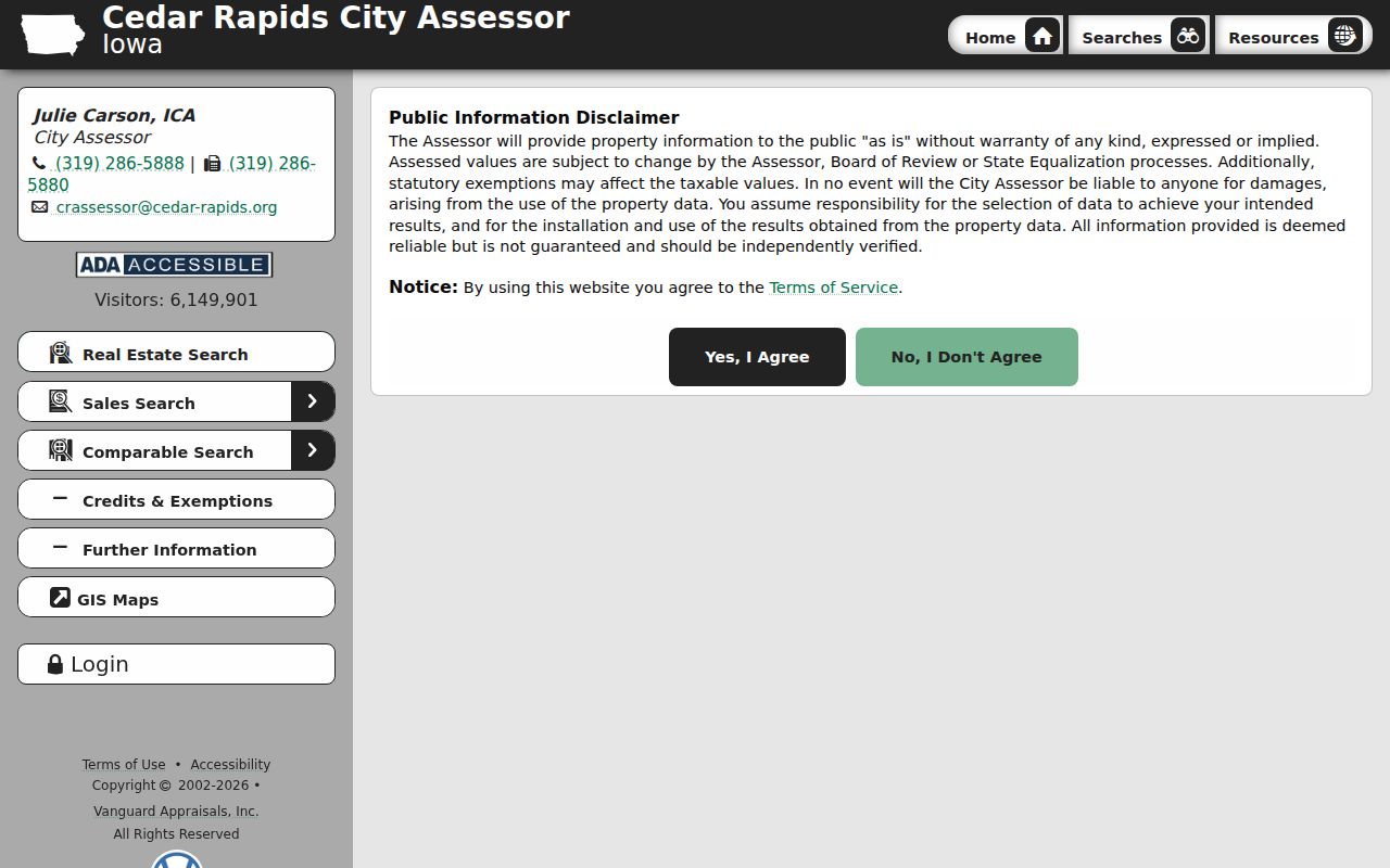
Its city controls keep a Cedar Rapids parcel from being mistaken for a county-assessed address.
Read Linn County Parcel Fields
The Linn County GIS parcel layer turns a street into a row of mapped parcels. Its fields include GPN, situs address and ZIP, legal description, owner deed or contract, assessed values, recorder instrument number, and report or recorder links. These fields let a researcher walk by street while keeping each claim tied to a parcel.
A parcel is a mapped unit of land. It is not a household. The owner-deed field can name a title holder, while the mailing address may be where a tax notice goes. The situs field describes the physical site. A legal description identifies the land through plat, lot, or survey terms. Compare all four before assigning a name to an address.
The official parcel-service inventory exposes the data behind the map.
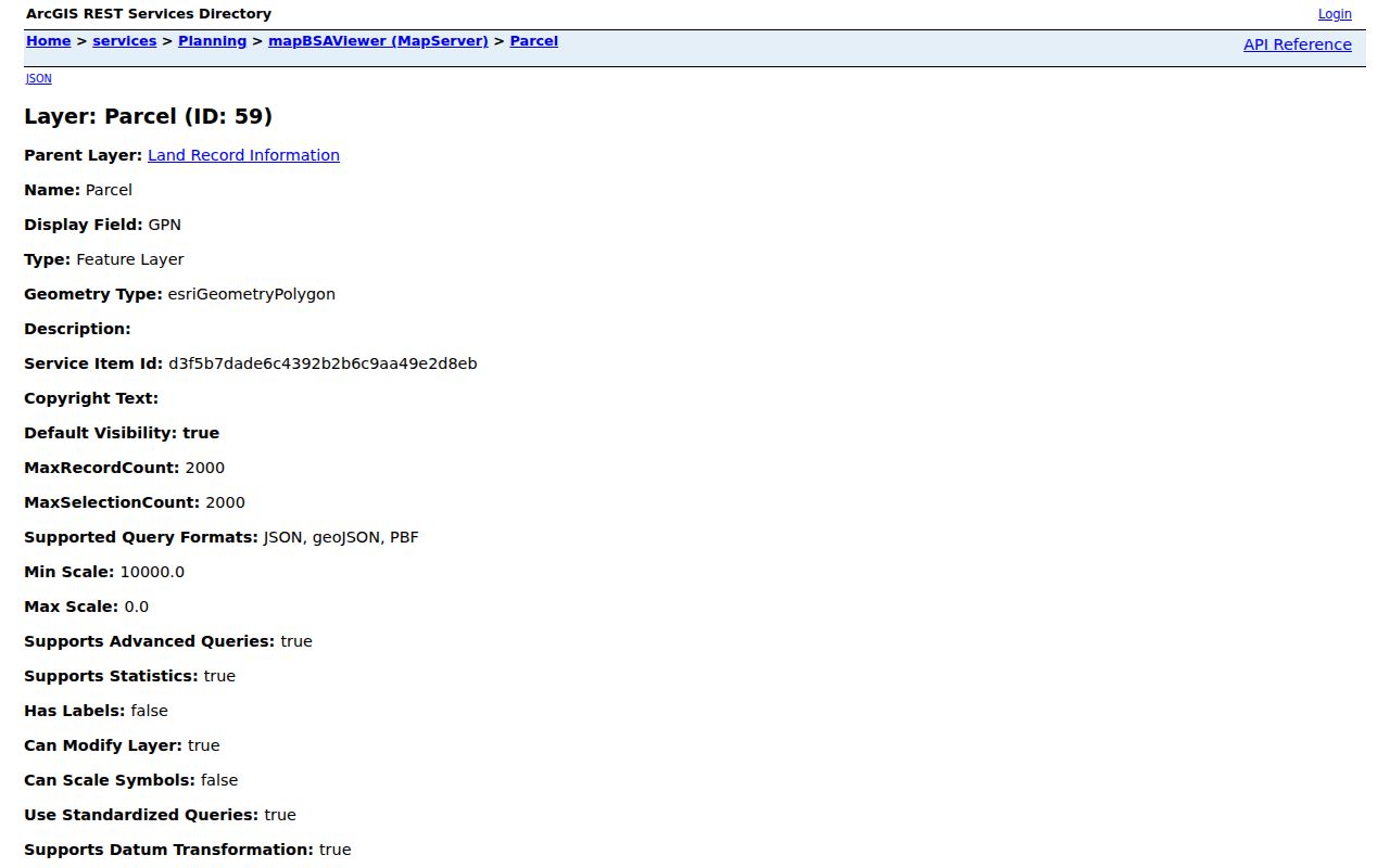
The field list supports a precise address worksheet even when the visual Experience map is slow or does not load.
- Parcel
- A mapped land unit with its own identifier.
- Situs address
- The physical location assigned to the parcel.
- Plat
- A recorded map that divides land into lots or tracts.
- Criss-cross directory
- A directory arranged by street and house number rather than only by surname.
Linn County Records by Street
Several custodians hold address-keyed evidence, and each describes a different role. The Linn County street directory is strongest when these sources agree on place and date. When they differ, preserve the difference instead of forcing one name into a claim of current residence.
| Record Set | Keeper | What It Shows | Access |
|---|---|---|---|
| Assessment roll | County or Cedar Rapids assessor | Parcel, situs, value, tax mailing details | Free web search; office help |
| GIS parcel layer | Linn County GIS | Adjacent parcels, GPN, ZIP, deed links | Viewer, REST service, office |
| Deeds and liens | Linn County Recorder | Recorded parties and instruments | AVA, Iowa Land Records, counter, mail |
| Voter material | Auditor and Elections | Dated registration fields allowed by law | Name and ZIP check; signed list request |
| Permits | County or city building office | Work type, dates, contractors, inspections | Portal, phone, office, records request |
Online access is only part of the route. The Recorder accepts counter, mail, phone, and drop-box business. Elections accepts voter-list orders by mail, fax, or email with lawful-use certification and payment. GIS staff can help with map data, while a narrow Iowa Code chapter 22 request can seek an existing public permit or address record that has no usable portal.
Follow Linn County Deed Parties
Once GIS supplies an instrument number, open the Linn County Fidlar AVA index. A grantor gives or transfers an interest. A grantee receives it. Mortgages, releases, easements, contracts, leases, affidavits, plats, and powers of attorney can add other named roles. The Recorder describes Linn County real-estate transactions reaching into the 1850s, though the exact first instrument in the current web index was not exposed.
Use Iowa Land Records as the free statewide fallback. At the Public Service Center, Recorder staff can help locate recorded material, but they do not build an abstract or draft changes to ownership. Copies cost $1 per page, and certification adds $5 per document plus the page charge. Confirm the current schedule before ordering.
For older gaps, ask for the relevant book, page, party, approximate date, and legal description by phone, mail, or at the counter. The History Center and State Historical Society add maps and historic context, but the Recorder remains the source for the official recorded instrument.
Linn County Street Names Shift
Cedar Rapids makes the directional suffix part of an address. First Avenue separates north from south, while the Cedar River separates east from west. Dropping NE, NW, SE, or SW may point the street directory search at another place. City rules also connect a rename to county records: an adopted street-name change is filed with the Recorder, Auditor, and Assessor.
That filing loop is useful. Search both names in city council material, the assessor, and recorded documents. Recent records include the Ellis Boulevard naming trail and a 2025 16th Avenue SE and 5th Street SE change. An older street can also predate modern numbering, especially along rural road and ferry routes.
The Cedar Rapids street-address code documents the address certificate and filing process.
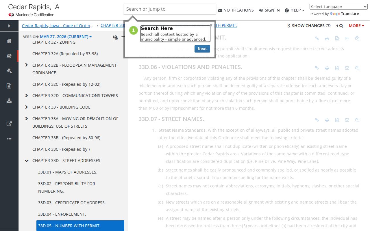
The rule explains why a failed old-name search should lead to the city ordinance trail, not the claim that the parcel never existed.
Check Linn County Address Authority
For a rural address, Linn County Engineering and Secondary Roads handles E-911 assignment through the Master Street Address Guide and emergency telephone location data. GIS maps the address points. Within Cedar Rapids, the Building Official assigns street numbers and can issue an address certificate. These systems answer where an address is and how it is written, not who occupies it.
Call Engineering at 319-892-6400 for county E-911 routing or GIS at 319-892-5250 for mapped data. The city Building Services route handles Cedar Rapids address administration. Preserve the assigned spelling, number, suffix, municipality, and ZIP as separate fields. That small step prevents a rural postal label from being confused with a city boundary.
Note: An E-911 point proves an official location, while a tax mailing address and a postal ZIP can still point somewhere else.
Permits Add Linn County Dates
The Cedar Rapids Municipal Permit Viewer adds construction dates, permit status, work type, contractors, descriptions, and inspection rows. Results are capped at 50, so narrow the address before opening a detail record. A named contractor is evidence of work, not proof that the contractor or owner lived at the site.
Outside Cedar Rapids, the Linn County Building Division covers Alburnett, Bertram, Center Point, Central City, Ely, Lisbon, Mount Vernon, Springville, and unincorporated areas. It supports applications, inspections, office contact, and record searches. Marion, Hiawatha, and other cities may keep their own systems, so verify jurisdiction before assuming the county holds a permit.
Older Linn County Street Directories
When a current parcel leads to a past household, use the Cedar Rapids History Archive. Its city directories and phone books span 1876 through 2017. A street section, sometimes called a criss-cross section, lists entries by address. Confirm the name in the alphabetic section and inspect nearby years for a move.
Do not expect every rural Linn County road in a Cedar Rapids volume. Sanborn maps cover Cedar Rapids from 1884 through 1936 and can show a building footprint or use, not an occupant. The Downtown Library provides local history tools, and the History Center holds directories, maps, clippings, photos, and blueprints. The Linn County city directory collections describe that historical shelf in depth.
Linn County Street Directory Limits
No official source is a complete household list. An owner can live elsewhere. A tax mailing address can differ from the situs. Voter information is structured by Iowa law, and the public lookup requires first name, last name, and ZIP rather than offering a street roster. Driver records are restricted under federal and Iowa rules. Safe at Home can shield an eligible participant's address.
Commercial neighbor tools may merge stale or mismatched records. Official rolls are narrower, but they name the custodian, date, and record role. Use two official sources before linking a person to a Linn County street, and keep uncertainty explicit.
Lawful use. Use Linn County address records only for lawful personal research. Never use a street search to stalk, harass, threaten, or harm another person.
A records custodian may redact protected data or withhold a confidential record. Ask for the public portion and the legal basis for any denial. Absence from a web portal is not proof that a person or record does not exist.